The incredible photo above was taken by Dutch Roth during a hike to Rainbow Falls on February 16th, 1958. The photo below, also by Dutch Roth, was taken on the old Indian Gap Highway on February 22, 1947. Exactly 64 years ago today! Both photos used with permision of...
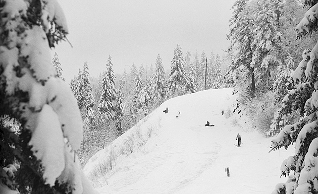
Smoky Mountains History: Winter in the Smokies
read more