

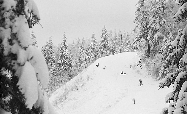
Indian Gap 1928 © University of Tennessee Libraries
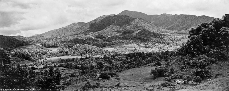
During the greater span of history in the Smoky Mountains, Indian Gap has been the main route across the mountains. Long a Cherokee trail, Indian Gap Road actually charged a toll in the 1830s. In exchange for the payment, farmers and merchants and travelling families were allowed to endure the rocky and rutted, steep and impossibly arduous journey. During the Civil War William Thomas and a party of 600 Cherokees converted the old trace over Indian Gap into a road that served the armies of both sides.
The photo above, taken by Dutch Roth in 1928, shows the soft swag of the gap as it was before the current Clingman’s Dome Road was built. The photo below, also by Roth, shows that road construction in progress.

Road construction at Indian Gap, 1934 © University of Tennessee Libraries
Indian Gap today is a parking area for the Road Prong Trail, which descends on the trace of the old Indian Gap Road. The Appalachian Trail also crosses here, on the path between Newfound Gap and Clingman’s Dome.

Indian Gap today © William Britten use with permission only
Dutch Roth photos Used with permission of The Great Smoky Mountains Regional Collection, University of Tennessee Libraries.
Back in 1947 as a teen I lived in Bryson City. I caught a Trailways Bus and traveled up to Newfound Gap and hitched a ride with a park ranger up to the CD parking area. From there up to the dome tower and then the AT back to NFG to catch the afternoon bus back home. You may recall that the AT crossed the CDR at Indian Gap and remained on the NC side until it passed through a pedestrian tunnel back to the TN side. Just below Indian Gap on the AT there was a building. I could just step off the AT a ways and step on the roof of this building. I still have a picture of that roof. Not wanting to tarry and miss my bus I did not go down to investigate the lower level. I wish I had. When I went back a few years later the building was gone. Maybe this structure was part of the Clingmans Dome road contruction as shown in your old B and W pictures ?