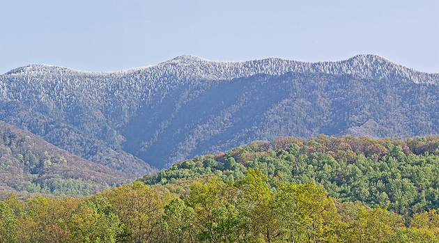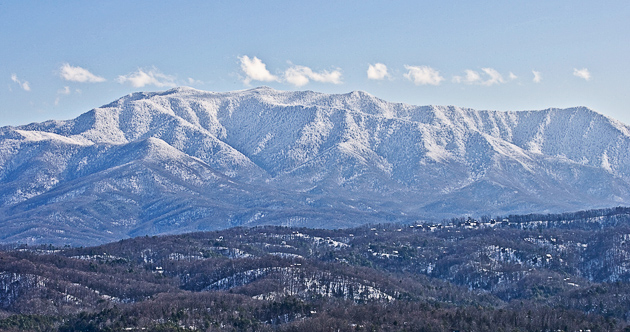
Mt. LeConte is the third-highest Smoky Mountains peak, but to me it represents the skyline of the Smokies. As you approach from the north, Mt. Leconte is a Smoky Mountains landmark seen from 50 miles away, or further on a clear day. As you travel around the Gatlinburg area, there is LeConte, above you in the sky, showing you different views.
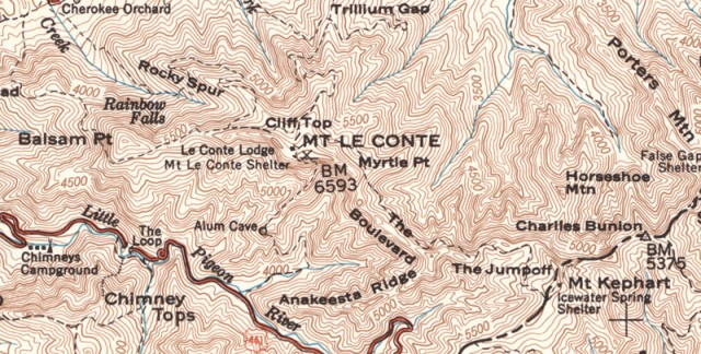
What is known as the Mt. LeConte massif is actually 5 peaks, with four of them over 6000 feet. West Point (6,344 ft), High Top (6,593 ft), Cliff Tops (6,555 ft), Myrtle Point (6,200 ft) and Balsam Point (5,840ft) comprise the majestic Smoky Mountains view that we all know and love. The topo map below from 1949 shows the details of the area. Click on the image to see a larger version.

The north side of the mountain rises a full mile from its base to the summit, making it the tallest mountain in Tennessee by that measurement. Storms that plow into this massive barrier dump immense amounts of rainfall into the watershed, fostering the diversity of plant-life for which the Smokies are famous, such as the amazing green rocks along the Roaring Fork.

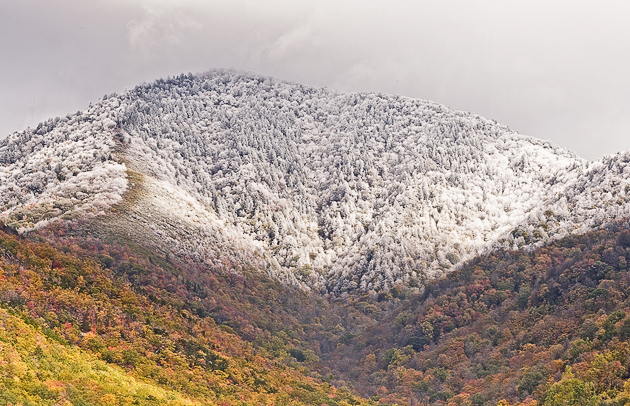
The photo above was taken from high on Shields Mountain, about 10 miles north of the Smoky Mountains. And the photo below was taken from the Campbell Overlook on the Newfound Gap road, looking up to an early snow on Balsam Point.
The mile-high mountain also creates a weather phenomenon called “mountain wave winds.” Those of us living on the north side of the slope are familiar with the howling, near-hurricane-force winds that are generated when a storm front passes over Mt. LeConte from the south.

The William Britten Gallery of Smoky Mountains pictures is open and ready to welcome you on your next visit to the Smokies. Please stop in and say hello and browse all of my photos.
