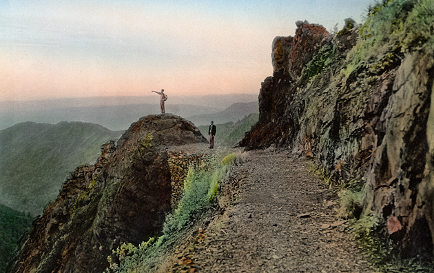
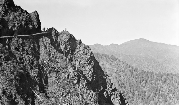
Charlie’s Bunion is a curious geological feature along the Appalachian Trail 4 miles east of Newfound Gap. The boulder-like protrusion sits on the northern slope of the Sawteeth cliffs. From this awe-inspiring spot you can look northwest to the summit of Mt. LeConte or northeast down into the Porters Creek watershed.
The area around Charlie’s Bunion was heavily forested until the massive logging operations of the early 20th century (see the photo of Harvey Broome scanning the desolate view from Charlie’s Bunion after logging). After logging damaged the ecology of the area, a fire in 1925 and a huge thunderstorm in 1929 scraped all remaining soil from the underlying rock. A group including Horace Kephart and Charlie Conner, a mountain guide from Oconaluftee, climbed the mountain to inspect what the flood from the thunderstorm had done. Smoky Mountains lore has it that Kephart wise-cracked that the protrusion looked like the bunion on Charlie Conner’s foot. The name stuck and soon thereafter the US Geological Survey added the name to their maps.
The photo above was taken by Knoxville photographer-businessman Jim Thompson some time in the 1930s, while the photo below was taken by Dutch Roth in 1935.
Photo above used with permission of C.M. McClung Historical Collection, Knox County Public Library. Photo below used with permision of the Great Smoky Mountains Regional Collection, University of Tennessee Libraries.
0 Comments