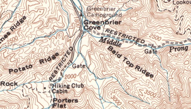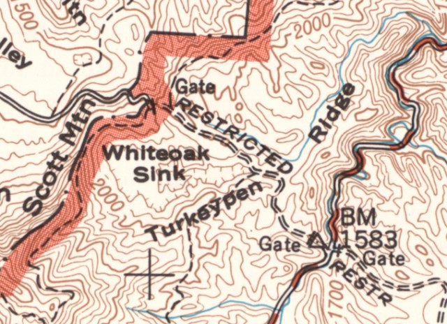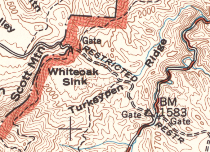
The images on this page are from a 1949 US Geological Survey Map of the Smoky Mountains, which was based on the 1931 map created at the time the National Park came into existence. A copy of this historical topo map can be downloaded from http://williambritten.com/GSM/ If you right-mouse-click on the file named GSMNP_topo.jpg you can save the file to your computer.
This is a very large (66MB) file! One way that I use it is to open it full size and then crop it in the area that you wish to take a hike. Then print out just that area. The map shows some old road placements, such as in the Greenbrier area above, as well as some now-undocumented areas of the Smokies.
You can also download the original 1931 topo maps of the Smoky Mountains at the same address above, labeled 1931east.jpg and 1931west.jpg. The 1931 maps show home sites, which makes them useful for exploring old rock walls, chimneys, and other remains of old homesteads.
Click on either of the images on this page to see a full-size version.
As always, please consider a stop at the William Britten Gallery along the historic Arts and Crafts Loop along Glades Rd in Gatlinburg, TN. My complete display of Smoky Mountains photos might include just the Smokies memory for you to take home.


