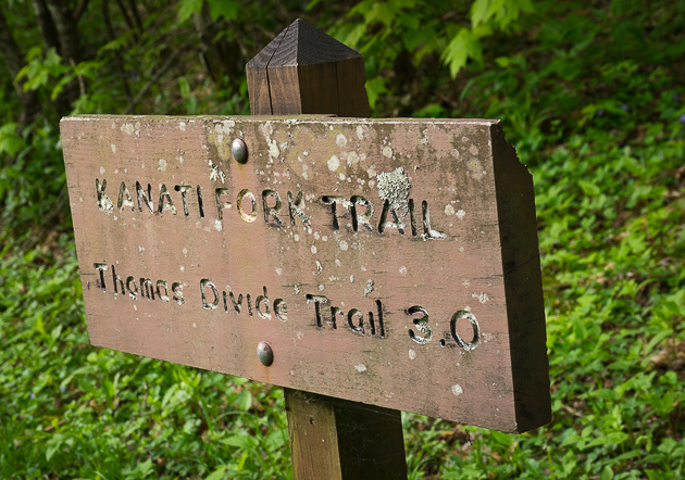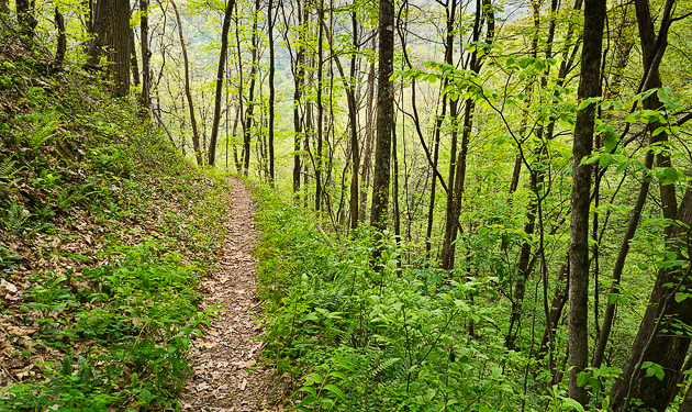
The Thomas Divide is a 14-mile spine along the eastern side of the Deep Creek watershed. The Kanati Fork Trail climbs up the eastern side of the Thomas Divide, rising over 2000 feet from Newfound Gap Rd in a series of switchbacks until it meets the Thomas Divide Trail on the ridge. The two trails are thus linked, and provide a nice five-mile hike featuring both high-elevation views and lower elevation deep woods. However, to hike both trails you will need to have two cars, parking one at each trailhead, unless you plan to hike a 10-mile round-trip.
The trailhead for Thomas Divide is 3.4 miles south of Newfound Gap, and the Kanati Fork trailhead is 8.3 miles south of Newfound Gap. In the springtime of the year, you might want to hike up the Kanati Fork, which is an excellent wildflower walk. Other times of the year, you might prefer a 5-mile meander down the mountain, starting at Thomas Divide and finishing at the Kanati Fork trailhead.

In his excellent book, Hiking Trails of the Great Smoky Mountains, my friend Ken Wise recounts some history for these two trails. Thomas Divide is named for William Thomas, a white man who was adopted by the Cherokee and eventually became their Chief in 1839. It was Thomas who organized a party of 600 Cherokees to convert the old trace over Indian Gap into a road over the Smokies during the Civil War.
The name Kanati refers to the Cherokee legend of a cave that contained all of the game animals of the world. Kanati, or “Lucky Hunter,” was the gatekeeper of the cave and had unlimited access to the wealth of food.

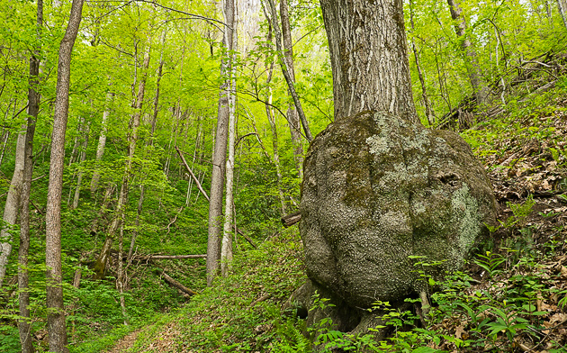
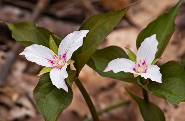
The photo above shows a gigantic burl that forms the entire base of a tree along the Kanati Fork Trail. Below are two of many Painted Trilliums that grow on the spine of the Thomas Divide and bloom in late April.
After the hike, please come out the the Arts and Crafts Trail along Glades Rd in Gatlinburg. The William Britten Gallery offers exclusive Smoky Mtn Photographs for your home.

